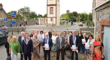
Collaborative Town Centre Health Check Programme
A trans-disciplinary Collaborative Town Centre Health Check Programme which was carried out in conjunction with participating towns across the country.
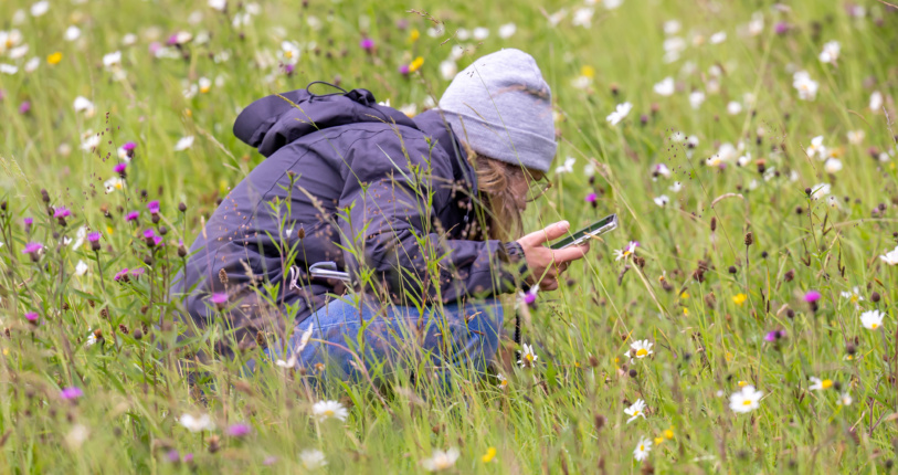
A research project developing a standard, evidence-based method for local authorities to identify the areas that matter most for nature in their county or city.
A research project developing a standard, evidence-based method for local authorities to identify the areas that matter most for nature in their county or city.
Most of Ireland's habitats and many of its species are in poor condition, and formally designated areas cover only a minority of the country. Outside those designated sites there is no standard method for identifying the places that matter for nature at county level. That makes it hard for local authorities to plan with confidence, and hard for everyone else to know where the ecologically important places are.
The Heritage Council is leading the development of the County Biodiversity Areas (CBA) methodology to fill that gap, working with the National Biodiversity Data Centre and the National Parks and Wildlife Service, and in consultation with Waterford City and County Council.
What is a County Biodiversity Area?
A County Biodiversity Area is a site that makes a significant contribution to the ecological network of a county or city. Identifying them gives local authorities an evidence base for decisions they already have to make under planning law.
CBAs are not a new designation. Sites already protected as Special Areas of Conservation, Special Protection Areas or Natural Heritage Areas are excluded. The CBA method looks at the wider countryside beyond them.
Aims and Objectives
The main aims of the project are to:
How are CBAs identified?
National ecological datasets are analysed to produce a candidate list of sites supporting habitats of recognised ecological value. Qualified ecologists then visit each candidate site to confirm the habitat is present and map its boundary. A site only becomes a CBA once it has been checked on the ground.
What CBAs mean for landowners
Identifying a County Biodiversity Area does not change what a landowner can do on their land day to day. Existing farming and land management continue as before, and there is no new obligation on the landowner. Where a proposal needs planning permission, the ecological value of a CBA is one of the things the planning authority takes into account.
Local authorities decide whether to include CBA sites in their development plan. That happens through the statutory plan process, so landowners, farmers, community groups and the public can make submissions before any plan is adopted.
In the Waterford pilot, ecologists are visiting sites only with the landowner's permission.
Where we are now
A pilot research project is under way in Waterford. The desktop analysis is complete, and field verification will take place in summer and autumn 2026. The pilot will produce a standardised, peer-reviewed methodology that any local authority can apply, and the findings will be published in full.
Partners
The project is guided by a Technical Working Group of data specialists, ecologists and local authority staff, including the National Biodiversity Data Centre, the National Parks and Wildlife Service, and local authority Biodiversity Officers and planning ecologists.
Find out more
Download the County Biodiversity Areas Frequently Asked Questions document below.
Contact biodiversity@heritagecouncil.ie or 056 777 0777.
A trans-disciplinary Collaborative Town Centre Health Check Programme which was carried out in conjunction with participating towns across the country.
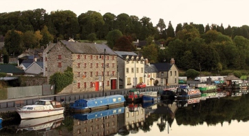
Supporting collaborative projects that assess the functions, unique selling points, quality of public spaces and civic landmarks in historic towns in order to formulate and develop visionary plans for their future development.

An initiative to promote heritage-led regeneration and to improve the quality of our historic towns and villages for residents and tourists.