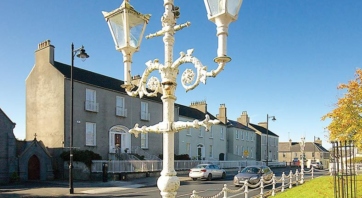
Community-led Village Design Statements
A collaborative approach to village planning and design that gives local communities a real voice in deciding how their villages are planned and shaped for the future.

ar aghaidh
Find or identify heritage sites and explore heritage data sets anywhere in Ireland.
Find or identify heritage sites and explore heritage data sets anywhere in Ireland.
Ireland’s most comprehensive heritage resource, HeritageMaps.ie enables you locate a vast range of heritage-related sites and projects.
The HeritageMaps.ie viewer provides access to national heritage data sets in map form while incorporating additional contextual data from a wide range of online sources.
It also includes datasets that are unique to this project such as soil susceptibility to coastal erosion, museums datasets and a range of thematic county heritage surveys.
Its impressive spread of applications lets you:
This project is co-ordinated by the Heritage Council, working with the Local Authority Heritage Officer network. It builds on the work carried out by the National Biodiversity Data Centre.
HeritageMaps.ie is a continuously-updated, accessible and easy-to-use discovery tool that is invaluable for academic, recreational, local and scientific research.

A collaborative approach to village planning and design that gives local communities a real voice in deciding how their villages are planned and shaped for the future.

The Heritage Council recommends that the principles of shared ownership and shared responsibility for our landscape should be reflected in planning legislation which is both inclusive and participatory.

Climate change is already having significant impacts on Ireland's heritage, threatening natural and built environments as well as tangible and intangible cultural heritage.